


Qatar/Mars Series
I recently came across a large coffee-table style photo book of images from Mars. As I flipped through the pages showing vast expanses of rocky ground and details of craggy rock formations and wave patterns in the soil, I had the distinct sense of having experienced this landscape first-hand. It felt almost nostalgic to me as I recognized outcroppings and rims of crater-like depressions that felt familiar. A year earlier I had been photographing very similar rock formations, wave patterns, and land forms in the remote desert area of northern Qatar. While on site during two brief trips, I was in a state of constant fascination with the landscape, intensified by the assault of the sun and heat, inescapable brightness of the earth reflecting so much light, everything scorched dry and brittle. The conditions reminded me that this place could be just a little dangerous for the fragile human whose vehicle breaks down or who runs out of water. The extreme heat and sunlight, even in winter, meant that we could only spend a few hours at a time in this location before fatigue and an escalating need to seek shelter and shade set in.
While exploring this area on foot, I would sometimes pull out my phone and look at my location on Google maps. The view on my screen showed a relatively flat area of beige textures with me, the pulsating blue dot, in the center. The view from the satellite above was remarkably similar to what I saw with my eyes as I looked down at the ground and out ahead at the monochromatic hillsides of sand and rock in front of me.

For years I have been interested in the way that vision has been extended through the use of lenses and apparatuses to picture what otherwise could not be seen. Our knowledge is determined by perspective, a factor that constantly shifts with position. The ability of satellites to show us our position from a different perspective, even allowing us to see cities that lie buried beneath the earth’s surface, is one example of how the apparatus can be an opening to another world. We look down at our screens as the satellites are looking down on us, to see a layer, a surface, an architecture, that lies underneath the surface of the earth. In experiencing the two views pictured above simultaneously, one as I looked out in front of me, and the other as I looked at the phone in my hand, I felt sandwiched in a visual compression of space that is difficult to describe. My interpretation of space flip-flopped between linear perspective and aerial perspective, pictorial space and flatness. Questions of scale and spatial disorientation, concurrent distance and close observation are the elements I’m drawing forward into this work.
During the 10 months I lived in Qatar, I was very aware of being physically on the planet in a way that I hadn’t been before. Anyone who has flown for 14 hours for example, becomes oriented to the earth as a planetary body in space. Boundaries of countries don’t make much difference but rather, you see your position within an area of the planet as a whole. Since returning to the U.S. I’ve realized that I want this work to convey a notion of landscape that echoes this shift in perspective, responding to the feeling of having one’s feet on the ground while accessing remote lenses looking down from above.
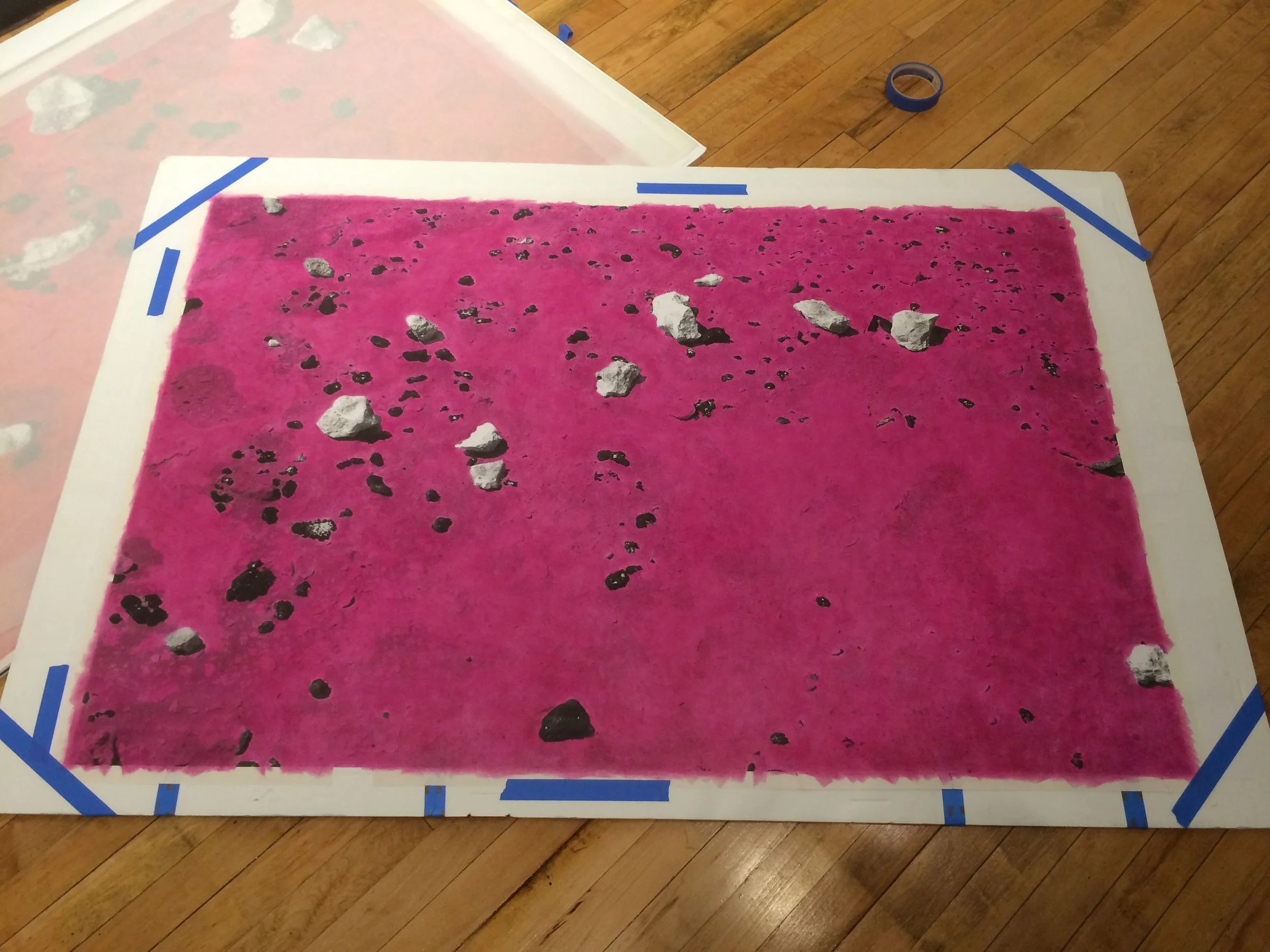
Like terrain, I consider the picture plane as a malleable surface containing embedded layers. As I print multiple times across varied surfaces of paper and fabric, I think about the principles of collage, the fracturing of the picture plane brought about by Cubism, and the compression of time and space that can occur within such composite images. I consider how images from space such as the Mars rovers, the Hubble telescope, and the ESA’s Rosetta mission, are all beamed to earth as data which is then translated by humans. The image data is assembled, coded, and layered in digital space to create composite images, a digital collage. False color helps to delineate the layers and create a sense of depth. Countless aesthetic decisions are made before these views reach a wider audience. It is important to remember the aspect of human touch and the tactile relationship to constructing these translations from remote lenses. This effort of making representations with the help of devices that extend our vision and create distance from their source is an important reference point for my own image-making.